All places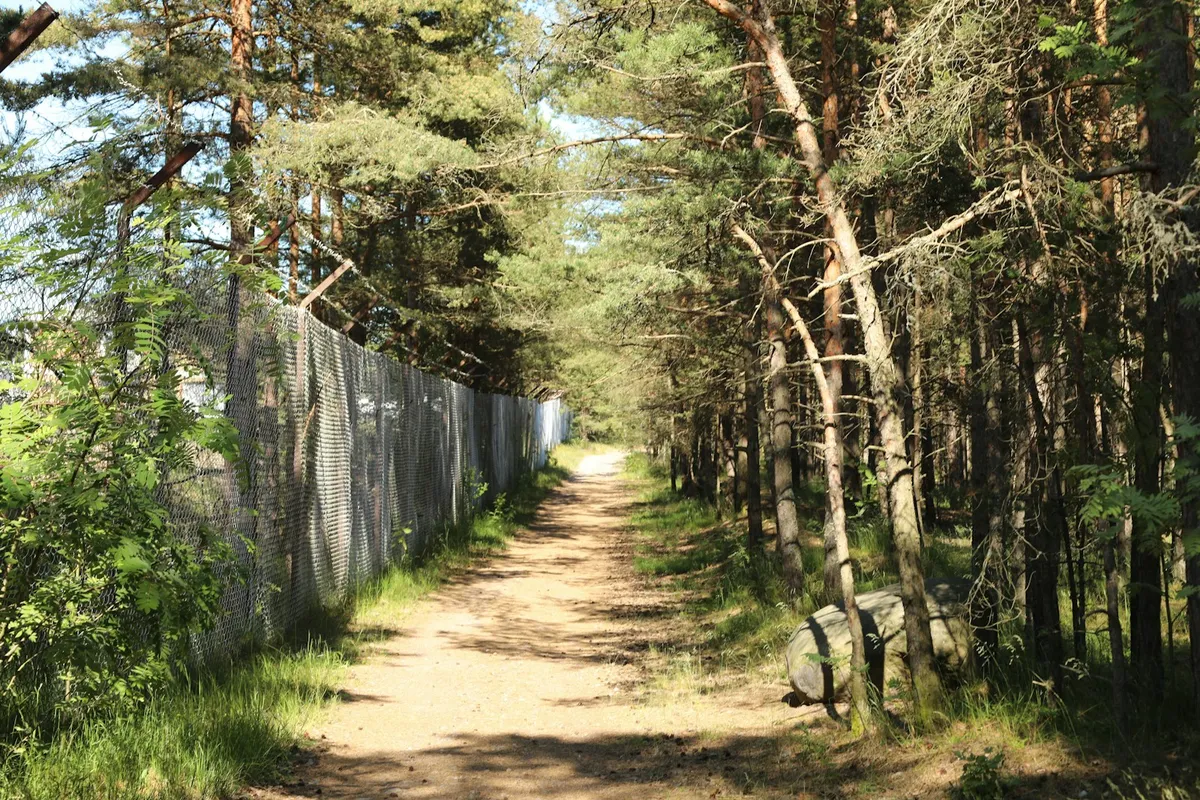 Photo: Luiza Sayfullina · Unsplash License
Tulliniemi Nature Trail
NatureHikeBirdwatchingView
A 6.7 km nature trail through the Uddskatan reserve to the southernmost point of mainland Finland, with 15 info boards, viewpoints and rest stops. On foot only.
The Tulliniemi nature trail (Tulluddens naturstig in Swedish) runs through the Uddskatan nature reserve to the southernmost point of mainland Finland. Along the way, 15 information boards cover the area's nature, seafaring and war history. At the end of the trail, the top of the rock opens up views to the north, west and south, with picnic tables to rest at. The cape is also an important stopover for migrating birds.
Good to know
- Length: about 6.7 km, marked with white posts.
- Terrain: Easy at first, but the rocks towards the end can be steep and slippery. Fine for families with children, but not suitable for people with reduced mobility.
- Start: Park at Vapaasatama 1 (Frihamnen), about 400 m from the start of the trail.
- Facilities: A toilet, rest stops and benches along the way.
- Rules: The trail runs through a nature reserve, so stay on the marked path. Cycling is not allowed on Tulliniemi. Don't pick berries, mushrooms or plants in the fenced barracks area halfway along, as the ground there may be contaminated.
For an easier walk, there is an accessible boardwalk along Tulliniemi's southern shore.
- Length
- 6.7 km
DirectionsRoute data: LIPAS · CC BY 4.0